B.B.C. Article
Scientists have produced what they say is the most accurate space view yet of global ocean currents and the speed at which they move.
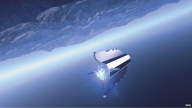
The information has been drawn from a range of satellites, but in particular from the European Space Agency's Goce mission.
This platform, which operated from 2009 to 2013, made ultra-precise measurements of Earth's gravity.
Data on sea-surface height combined with gravity information tells scientists where the water is piled up
It has detailed the role this force plays in driving ocean circulation.
The new model - presented at a Goce conference at the Unesco HQ in Paris, France - will be of fundamental importance to climate modellers, because it is the mass movement of water that helps to transport heat around the globe.
Goce carried instrumentation capable of sensing very subtle changes in Earth's gravitational tug.
This pull varies ever so slightly from place to place because of the uneven distribution of mass inside the planet.
Scientists used these observations to construct what is called a "geoid", which essentially describes the "level surface" on an idealised world.
(Continues)
Goce gravity map traces ocean circulation
Moderators: kiore, Blip, The_Metatron
•
2 posts
• Page 1 of 1
Goce gravity map traces ocean circulation
#1 ![]() by DougC » Nov 26, 2014 2:14 am
by DougC » Nov 26, 2014 2:14 am
http://www.bbc.co.uk/news/science-environment-30191584

To do, is to be (Socrate)
To be, is to do (Sartre)
Do be do be do (Sinatra)
SUBWAY(1985)
To be, is to do (Sartre)
Do be do be do (Sinatra)
SUBWAY(1985)
- DougC
- THREAD STARTER
- Posts: 14920
- Age: 51

- Country: UNITED Kingdom
")
Re: Goce gravity map traces ocean circulation
#2 ![]() by DougC » Apr 16, 2015 4:08 pm
by DougC » Apr 16, 2015 4:08 pm
http://www.bbc.co.uk/news/science-environment-32337378
B.B.C. Article
Goce gravity boost to geothermal hunt
The hunt for sources of geothermal energy is getting a boost from new observations of the Earth made from space.
Information about variations in gravity across the planet could help prospectors find promising locations where sub-surface heat can be exploited to generate electricity.
The data comes from Europe's Goce satellite.
It mapped Earth's gravity field from 2009 to 2013 at high resolution.
This keen sensing is now expected to narrow the search for prime spots to put future power stations.
The International Renewable Energy Agency (IRENA) has released the information in a special global atlas.
(Continues)
To do, is to be (Socrate)
To be, is to do (Sartre)
Do be do be do (Sinatra)
SUBWAY(1985)
To be, is to do (Sartre)
Do be do be do (Sinatra)
SUBWAY(1985)
- DougC
- THREAD STARTER
- Posts: 14920
- Age: 51
- Country: UNITED Kingdom
2 posts
• Page 1 of 1
Who is online
Users viewing this topic: No registered users and 1 guest